Tintagel and the Slate Coast.
Start. Tintagel.
Route. Tintagel - Castle - Glebe Cliff - Dunderhole Point - Panhallic Point - Trebarwith Strand (Port William) - Tregatta - Treuillick Farm - Tintagel.
Notes. Give a few Cornish Slate Miners a pick and shovel, the odd stick of dynamite and over a period of three hundred years they'll have chipped, chiseled and blasted their way through millions of tonnes of prime Cornish cliff face, shipping their hard earned rock away by boat. Tracks running from villages like Tregatta, Treknow and Port William are deep cut, the stone paving (where it remains) highly polished and worn, the result of the passage of many thousands of hob nail boots. Traditional herringbone or "curzyway" dry stone walls mark field boundaries and guard the cliff edges, the signs of hundreds of years of mining are all around, you just have to open your eyes.
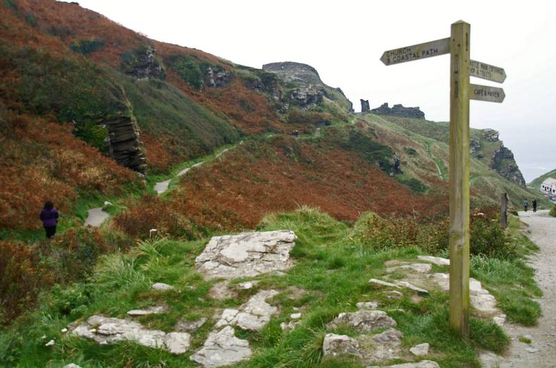
Today was grey and overcast, the threat of rain never very far away, distant views almost nonexistent, an ideal day to explore the legacy of the Cornish slate industry. We left Tintagel on the busy path that lead to the castle, half way down a finger-post invited us to the church or the coastal path, it was the coastal route for us, ascending Gelbe Cliff to start our ramble through the ghosts of Cornish slate mining. We wandered south passing the Youth Hostel at Dunderhole Point, before rounding High Penhallic Point then Low Penhallic Point where a zig zag donkey track winds it's way down to a wharf honed from the cliff face, from here sailing ships carried the stone up and down the coast. We passed high above long disused quarries, Gillow Quarry, Long Grass and Gill Point Quarries, followed by Dria Quarry, Bagalow then Lanterdan Quarry with it's 80ft pinnacle of inferior slate, and finally West Quarry before descending to Trebarwith Strand.
After an excellent lunch in the Strand Cafe we re-traced our steps through heavy drizzle ascending the steep, now slippery path. Halfway up the hill a sunken lane branched off to the right leading between hedge rows to the village of Tregatta. Once on level ground we wandered along farm lanes, through green fields on way-marked paths, over the odd stretch of grey tarmac, within no time at all we found ourselves wandering back into Tintagel.

Parting of the ways, it's the coastal path for us.
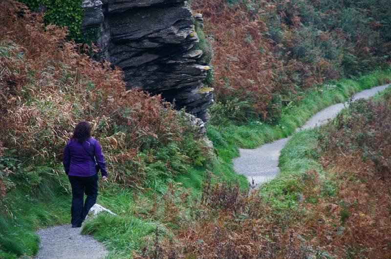
Sue strides out eager to reach high ground.
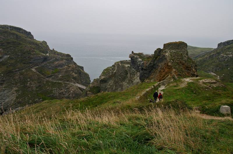
From the Glebe views to the fairy tale remains of Tintagel Castle.
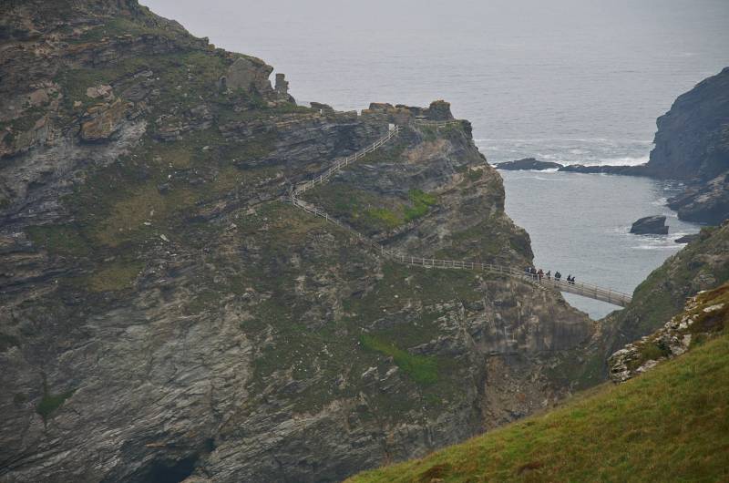
Viewing the steep path leading to The Island.

Waves crash into the southern mouth of Merlin's Cave.
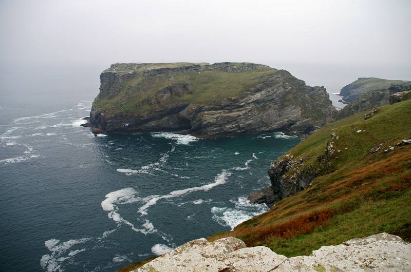
The Island seen from the cliff top path.
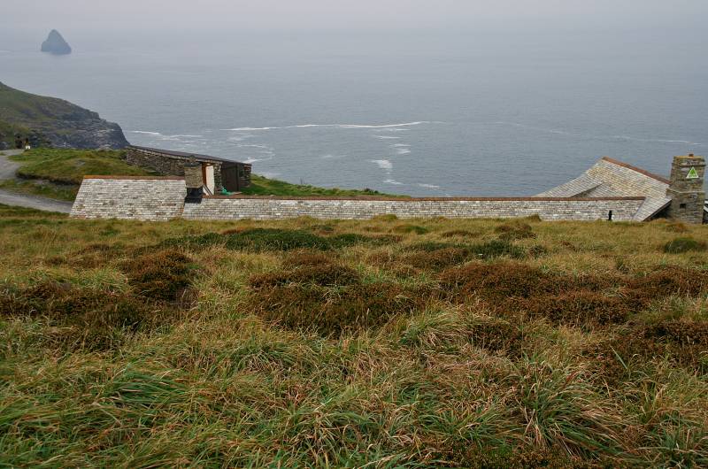
Tintagel Youth Hostel perched high above Dunderhole Point, with usually stunning views over the Atlantic Ocean.
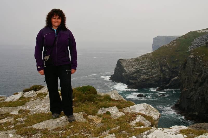
Sue poses for a photograph close to the cliff edge, with Dunderhole Point and the youth hostel as a back drop.
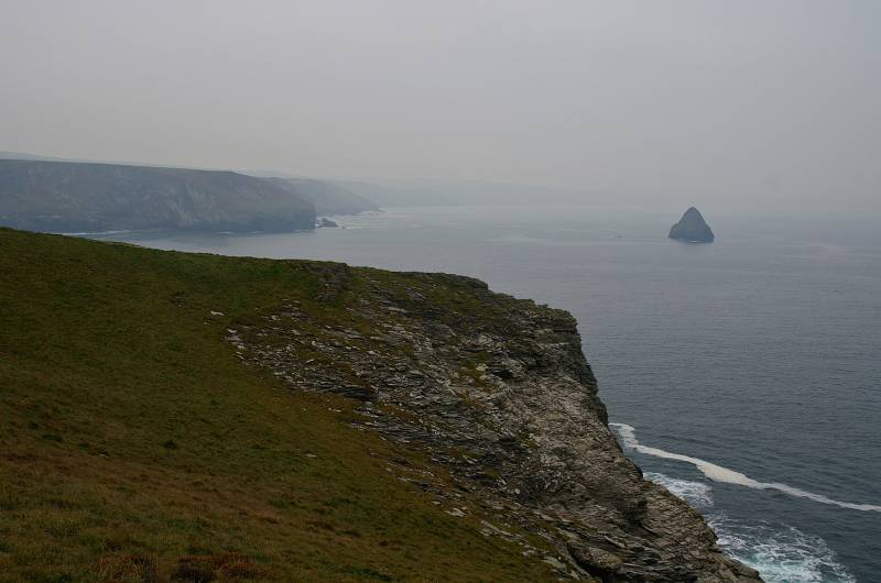
Gull Rock rises from the grey waters of Port Isaac Bay, seen from Penhallic Point.
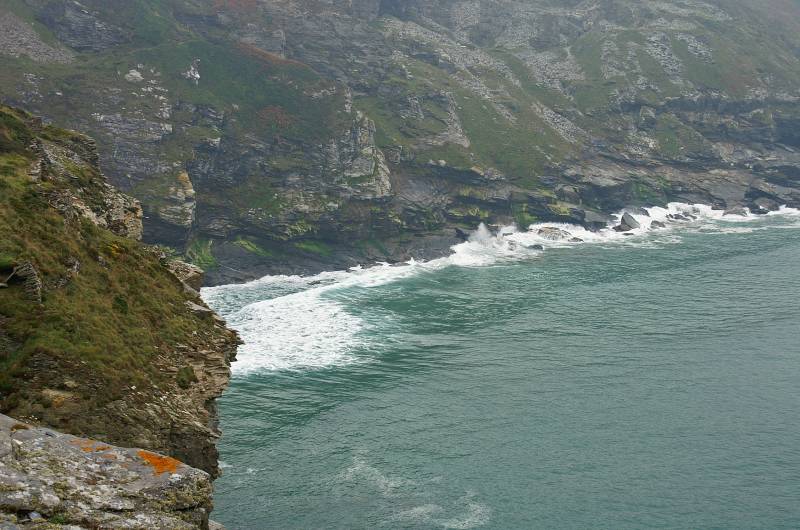
Viewing the remains of Bagalow and Lanterdan Quarries.
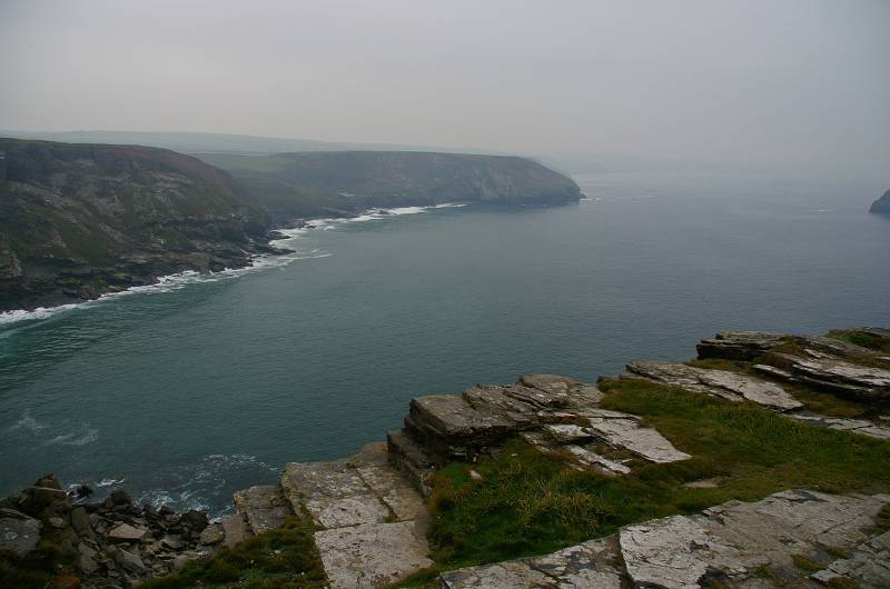
The cliffs to the north and south of me have all been scarred by the hands of the quarrymen, such was the scale of mining in this area.
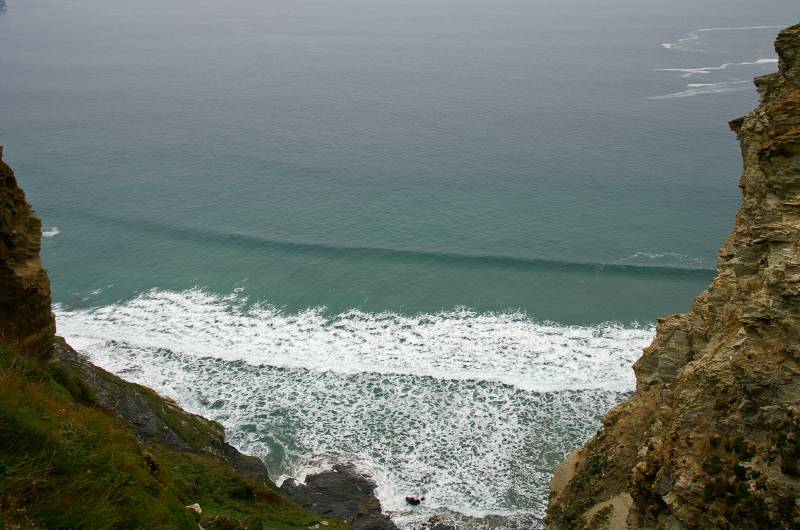
Looking down as the waves break over Hole Beach.
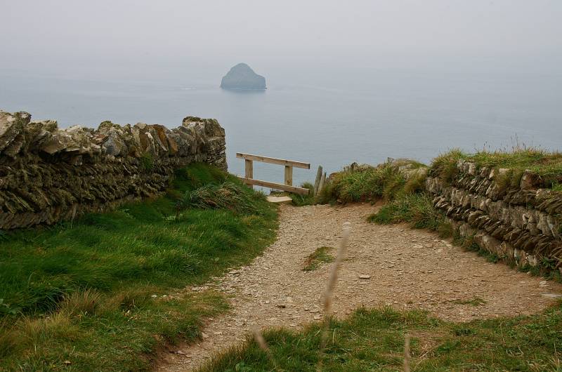
From a lane edged by herringbone walls views to a grey Gull Rock.
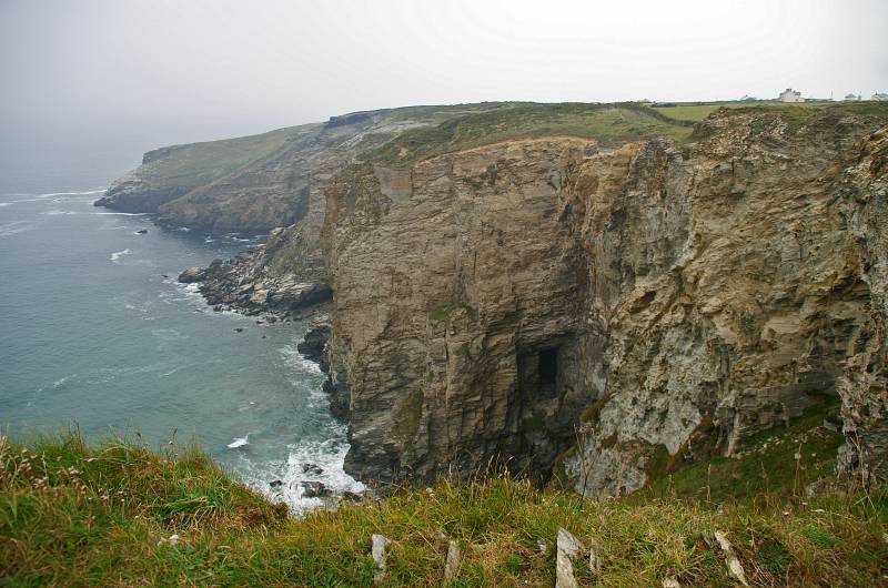
This shot gives a better example of the extent of the quarries, I believe I'm looking at Bagalow Quarry, Dria and Gill Point Quarries.
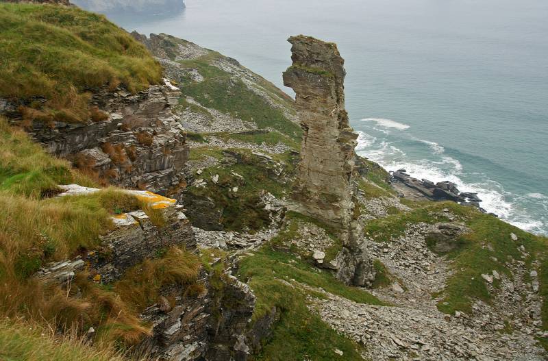
Such was the skill of the quarry men they left this 80ft pinnacle of inferior slate rising from the floor of Lanterdan Quarry.
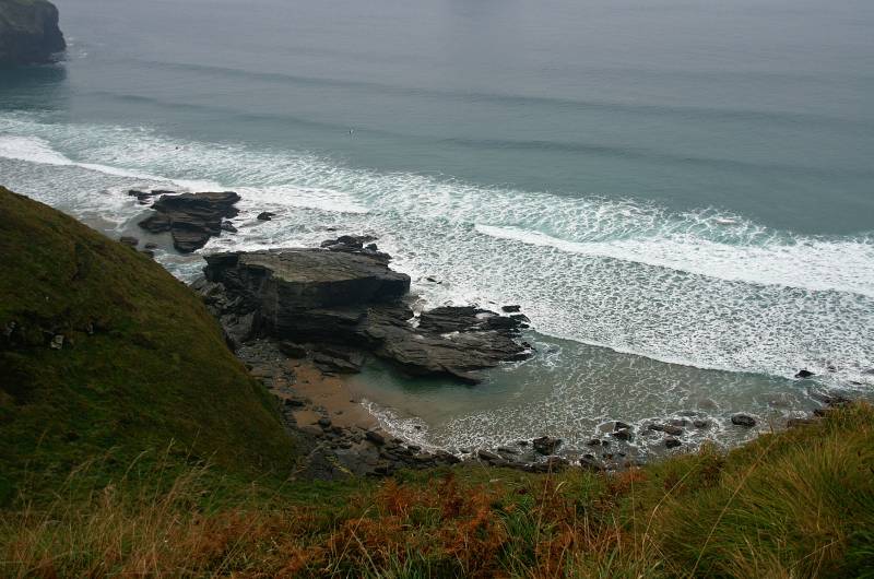
Descending to Trebarwith Strand looking down on Lill Cove.
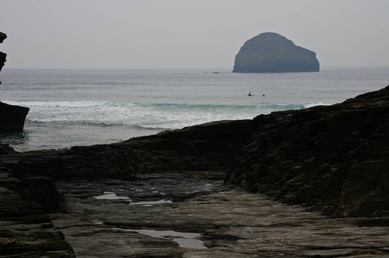
Gull Rock as seen from Trebarwith Strand.
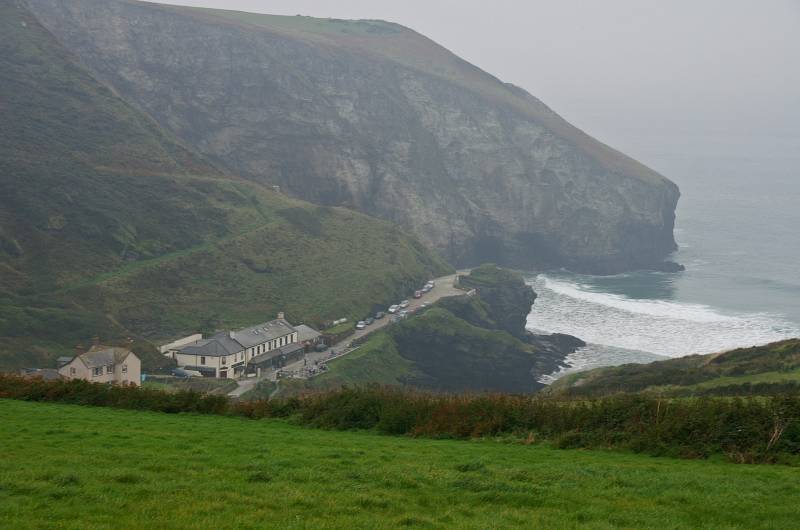
Ascending through heavy drizzle looking back to Dennis Point and the Port William Hotel.